
TOKYO, Japan (AVING Special Report on 'CEATEC JAPAN 2006') -- <Visual News> ZENRIN DataCom demonstrated a variety of navigation services of digital maps.
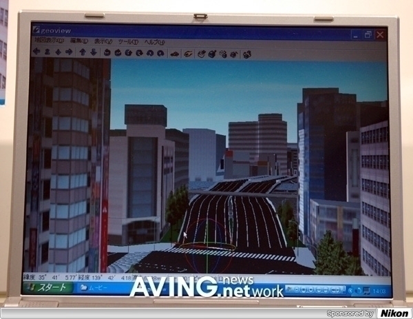
One of the leading services, ''Walkeye Map'' provides a 3-D navigation screen and identifies high-traffic areas and toll road information. The 3-D screen provides vivid views of intersections.
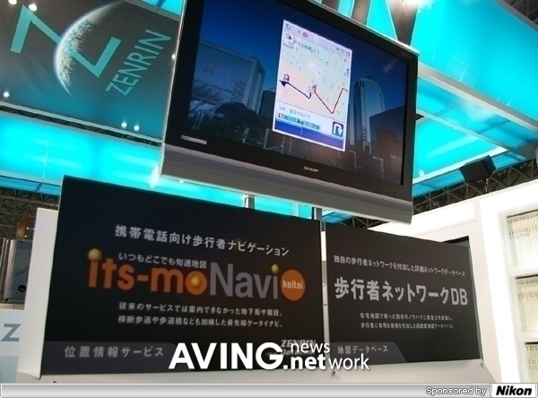
ZENLIN DataCom also introduced a navigation service for pedestrian use.
''Its-mo NAVI keitai'' is a custom-made digital map service. For example, if a user is handicapped, he can be shown a route without stairs or other obstacles.
On rainy days, if users prefer to drive through tunnels and/or underground roads, they can search such routes accordingly.
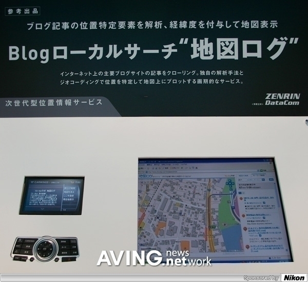
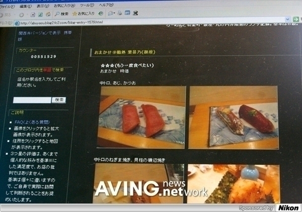
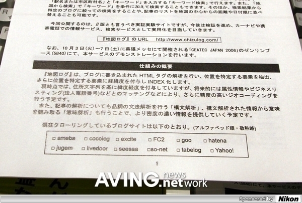
The other service is linked with Blog search. For instance, if you click www.chizulog.com , you can easily search popular local restaurant info around the district with visitors'' evaluations.
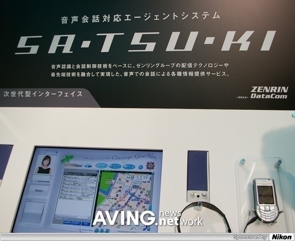
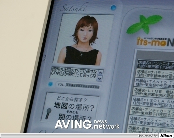
ZENLIN DataCom presented ''SA-TSU-KI'', a voice recognition tech service.
Users say the name of a restaurant and/or place directly to ''SA-TSU-KI'' and view search results. The company is trying to expand this service to combine with car navigation systems.
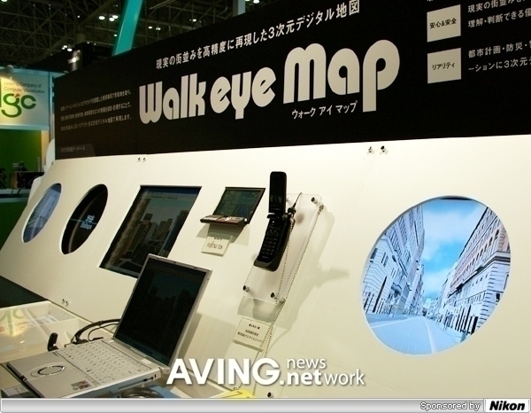
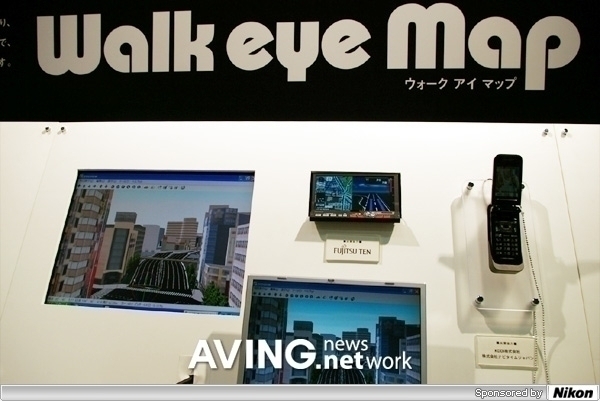
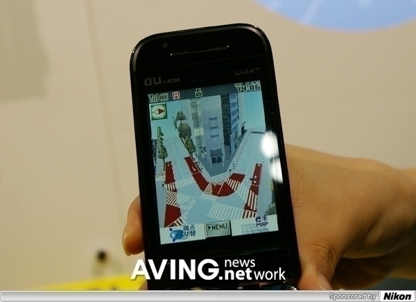
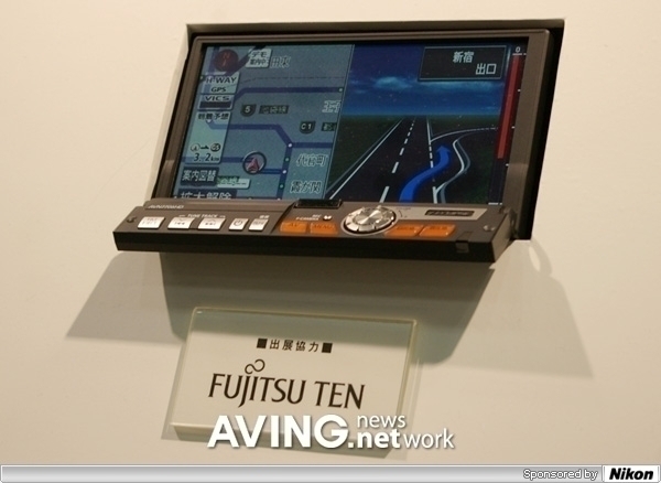
(photo caption: Navigation services are available in PC, car navigation,
cellular phone, etc.)
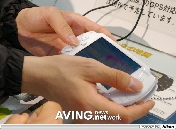
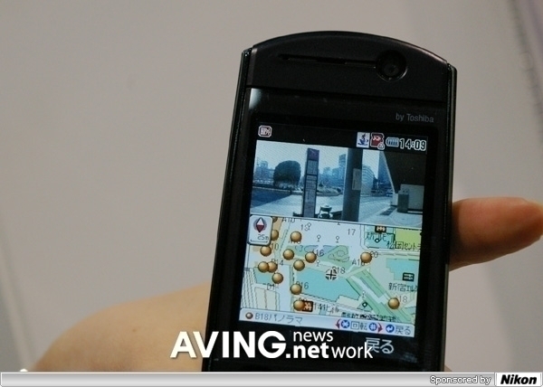
(photo caption: Pedestrian-use navigation services are available both PSP
and cellular phone.)
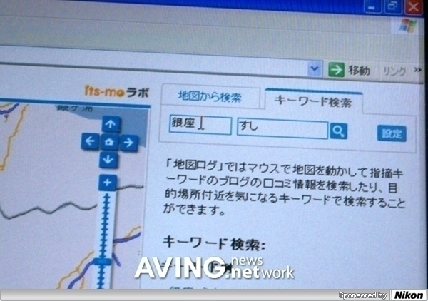
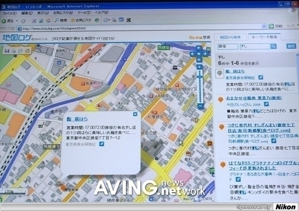
(photo caption: you can see many blog lists after searching ''Su-shi''
above)
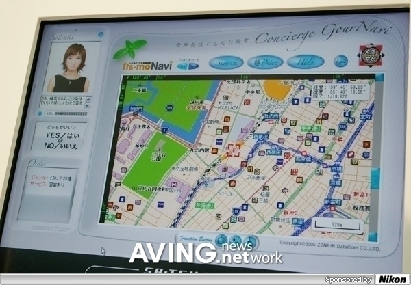
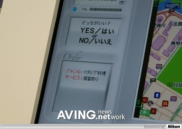
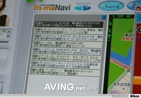
(photo caption: a list of Italian restaurants from search results)
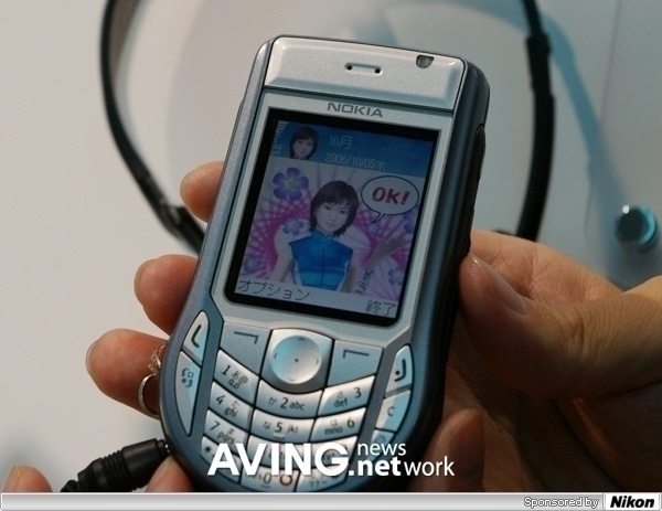
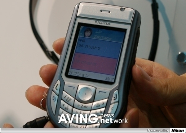
(photo caption: ''SA-TSU-KI'' service is available in the cell phones now.
Users can use voice to search)
< AVING Special Report Team for ''CEATEC 2006'': Publisher & Editor, Kevin Choi, Benjamin Oh, Jason Lee, Phoebe Kwon, Sheri Choi, Daniel Sirh, Rose Kim >